


Simpson Hill Wilderness Trail Network
WEBSITE DESIGN: Simpson Hill Wilderness Trail Network https://simpsonhill.ca/
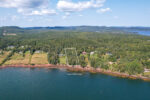
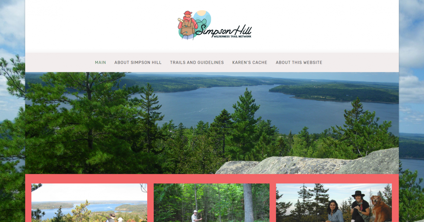
At the western edge of Charlotte County, Simpson Hill overlooks the “cross” in the St. Croix River, the place that gave rise to the name given to the river by Champlain in the early 1600’s. Reaching almost 600 feet, it is the most readily accessible lookout on the Canadian side of the St. Croix. From Table Top, the view looks directly across to the Ganong Nature Park at Todd’s Point. To the right is Oak Bay and the Waweig River. On the left, the St. Croix River flows down from St. Stephen/Calais. To the extreme left is the lower estuary leading offshore to Passamaquoddy Bay and the Bay of Fundy.
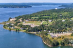
Simpson Hill lies within the Chamcook Lake Watershed, an environmentally protected area, which supplies drinking water to St. Andrews, various research facilities and the Champlain Industrial Park. Simpson Hill Wilderness Trail Network is on property owned by the Regional Development Corporation, Province of New Brunswick and therefore you venture on Simpson Hill at your own risk. We provide information on the Simpson Hill trails so visitors can make their hiking trip as enjoyable as possible.